Heavy rains and high winds resulted in flooding and downed trees early Sunday morning.
Water inundated the intersection of Highways 131 and 33 in Ontario, and the Elroy-Sparta State Trail sustained both flood and wind damage. The entire trail was closed Monday as DNR employees worked on cleanup, and the segment between Kendall and Elroy remains closed.
Norwalk, Kendall and Wilton also had standing water in low-lying locations. As of Sunday, Norwalk was asking residents not to flush toilets or put anything down drains to ease operations at its wastewater treatment plant. The notice was lifted Monday, but village officials are asking Norwalk residents to be mindful that if more rain occurs, they may issue the request again.
As of 1:15 p.m. Sunday, the Kickapoo River peaked at 19.95 feet in Ontario (moderate flooding begins at 18 feet). The water continued to recede through Sunday afternoon and evening.
On Aug. 28, 2018, the crest reached 28.50 feet, the historic high mark, on the Kickapoo River at Ontario.
At 5:06 a.m. Sunday, the Baraboo River reached 9.11 feet (moderate flooding occurs at 8.5 feet). The water quickly receded throughout the day. The Baraboo River crested at an estimated 10.9 feet on Aug. 28, 2018.
In Norwalk, water came down from a field hill behind the village hall and ran down South Street, the 300 block of Main Street, and then to S. Water Street, moving toward Moore Creek. Roughly 10 inches of water flowed down Main Street.
No flood watches, warnings or advisories are in effect for these areas.
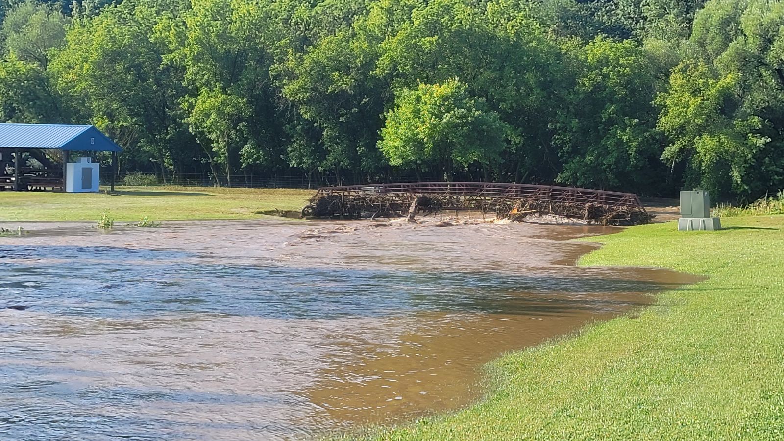
Below, see a photo gallery of the storm’s aftermath.
Flooding: July 14, 2024